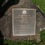
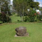
Maleny’s War Memorials
Residents of Maleny have a proud history of military service and there a many memorials recognising their service throughout the township and surrounding areas.
This page has been compiled to provide a repository of their locations and history.
Thanks to Barry Canton and Steve Eaton for their work in compiling these photos and information.
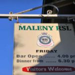
Maleny RSL Memorial Hall
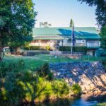
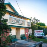
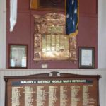
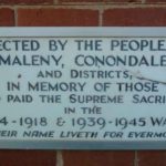
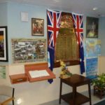
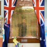
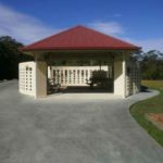
The Maleny community has a long history of military service. The RSL Memorial Hall is itself a memorial to those who have served in all conflicts.
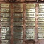
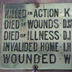
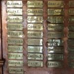
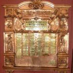
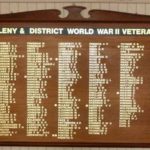
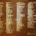
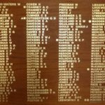
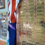
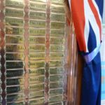
It hosts honour boards listing names of those who have served.
Below are photos of the relevant memorials in the Hall, just click on a photo to enlarge it, you can then scroll through all photos.
Address: 1 Bunya Street, Maleny
Directions: Google Maps
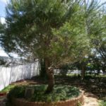
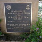
Maleny Cenotaph
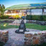
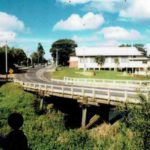
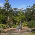
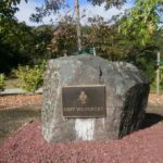
The Cenotaph is located on the banks of the Obi Obi Creek within the grounds of the RSL Maleny Memorial Hall. The Cenotaph was extended by the Maleny RSL in 2015 as part of the Gallipoli Centenary.
Below are photos of the Memorial Cairn, Cenotaph and Hall. Click on a photo to enlarge it, you can then scroll through all photos.
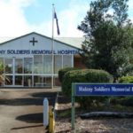
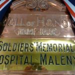
Maleny Soldiers Memorial Hospital
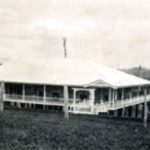
The original Maleny Hospital was across the road in Bean Street Maleny where the Ambulance Station now stands. The Hospital was originally a wooden Queenslander construction and it was built in the early 1900’s and opened its doors to the first public patients in October 1920. The following year the center became a general hospital which it has been ever since. The hospital kept expanding with many wooden extensions creating long hallways, nooks and crannies and pokey rooms in a somewhat haphazard fashion. All of this was portentous of a fire threat which was feared by the staff and locals.
A new brick hospital was built in the 60’s and that is the one that serves Maleny residents today as the old wooden Queenslander became a rambling mosaic of rooms, unsafe and a fire trap if the building went up in smoke. For awhile in the 60’s the nearby School of Arts building was used as a temporary hospital for patients after a storm in 1963 damaged part of the hospital roofing.
The inevitable did happen when the old wooden hospital caught fire and patients were still inside the building but luckily the fire was contained quickly and no one was hurt. But the worst scenario did occur when another fire later ripped through the old building but to good fortune the hospital by this stage was vacant as only the ghosts of lost souls who died in the hospital still roamed the old wooden building as it burnt to the ground. The new brick Maleny Hospital was already built and servicing the local community with their medical needs.
Want to know about Maleny Soldiers Memorial Hospital click here and here.
Address: Bean Street, Maleny QLD 4552
Location Map: Google maps
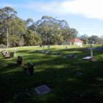
Witta Cemetery
Witta Cemetery is situated on the north-western edge of the shire on the Blackall Range, near Maleny. It is 3.6 Km from Kenilworth Rd to the Cemetery on Witta Rd.
The area was formerly known as Teutoburgh, after a German mission, established nearby. Ernestine Vandreike, daughter of Carl Schutz, wife of August Vandreike, born Germany, arrived 1885 “Dorunda”, died 14th Sep 1912, aged 79, and her son Herman, born Germany, died 3rd Nov 1905, aged 43.
A number of the plates here have pictures or symbols indicating the interests of the deceased. e.g. musical notes, piano, horse rider, fisherman, sailing ships, motorcycle, guitar. One tall monument has a simple inscription- In memory of William, a true friend, native of North Queensland. Epitaph for Colin Henry Bryce, born 20th Aug 1922, died 13th Jun 1996. “It’s not the first game that counts, it’s the last one.”
Veterans’ Crosses
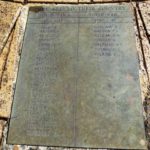
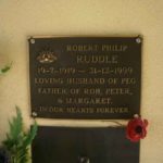
There are over fifty veteran crosses in the cemetery and each cross is marked with a plate identifying the veteran and their military details.
On ANZAC Day a moving service is held in that family members and members of the public place a sprig of rosemary and an Australian flag on each cross during the playing of The Last Post and Reveille.
This is preceded by a short Remembrance Ceremony, which is held around the Stone of Remembrance situated in the cemetery.
A number of veterans are laid to rest in the Columbarium Wall.
Address: Witta Road, Witta QLD 4552
Location: Google Maps
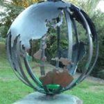
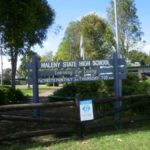
Maleny State High School
Maleny State High School is located in the Queensland Sunshine Coast hinterland, 100km north of Brisbane, 35 minutes’ drive from Caloundra, servicing the communities of the Blackall Range, Upper Mary Valley, part of the rail corridor and surrounding areas. The school was established in 1987 and has a reputation for a diverse, innovative curriculum, excellent facilities and a pleasant environment for student learning.
The student population is drawn from a wide variety of socio-economic and ability backgrounds. Enrolled students reside in the township of Maleny as well as travelling in from districts as far as 45km from the school. The main feeder schools include one large State Primary school, a smaller Primary School, a number of other smaller state primary and independent schools spread throughout the area.
Click here to visit the Maleny High School website.
Address: 50 Bunya Street, Maleny QLD 4552
Location Map: Google maps
Maleny State School
Maleny State School was established in 1913 and is part of the Range to River Coalition. This includes Maleny State High School, Conondale State School, Kenilworth State Community College and Montville State School.
Maleny State School is a Band 8 co-educational school in the hinterland of the Sunshine Coast, 32 km from Caloundra offering classes from prep to year 7. Maleny is situated in the Sunshine Coast Regional Council area.
Click here to visit the Maleny State School website.
Address: 16 Bunya Street, Maleny QLD 4552
Location Map: Google maps

